
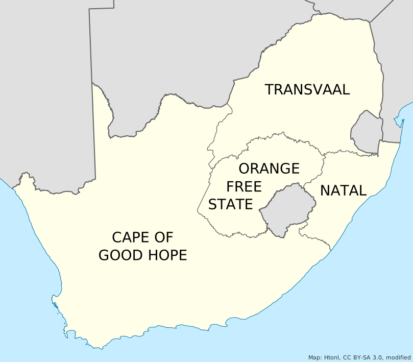
Province map
Who led each province, officially and on ifivoted. Tap a province for the breakdown.
This is not a real election. Unofficial. Not an official election. Votes do not count. Results are self-selected and for interest only. ifivoted.com is not affiliated with the Electoral Commission of South Africa (IEC), any government body or any political party. Results here are not representative of any population and must not be reported as polling or as predicting any outcome. Official historical results are shown for comparison and are attributed to their sources.
ifivoted votes by:
Tap or select a province to see provincial results.
Modern province boundaries: geoBoundaries (CC BY 4.0), simplified. 1976–1994 map: Htonl / Wikimedia Commons, CC BY-SA 3.0, modified (see caption). ifivoted province figures use the optional, self-reported province of each voter and are not representative.